The results of the CO-CARBON project investigating urban green spaces can now be found all over Helsinki! A geocaching-like treasure hunt of four themed routes invite you to observe the urban green spaces around us through different lenses. Are you ready to take on the challenge and embark on a journey of exploration into the multiple benefits of urban green spaces?
Practical guidelines
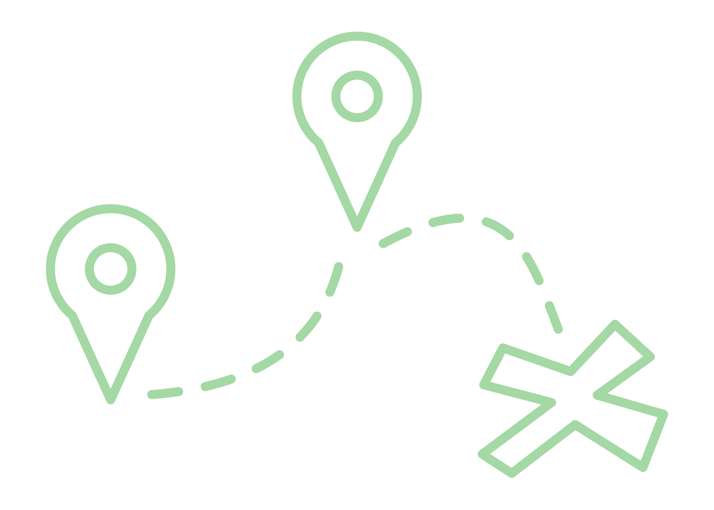
Each route consists of three or four points. The coordinates of the first point can be found in the route description below. A small jar is hidden in the location indicated by the coordinates, which in turn contains the coordinates of the next point. You will find the jar when you are thinking about where a good hiding place could be. The last jar contains a small logbook in which you can record your progress along the route. The routes formed by the points vary in length and estimates of the total distance are given in the route descriptions. Once you have found the jar, please always hide it back in the same way it was hidden, so that the jar remains hidden for future treasure hunters as well.
If you haven’t searched for places based on coordinates before, here are instructions on how to enter coordinates into Google Maps.
Track 1: Carbon sinks of urban green
Vegetation takes up carbon from the atmosphere through the process of photosynthesis. At the same time, vegetated ecosystems also release carbon back to the atmosphere as part of their normal functioning. If an ecosystem takes up more carbon than it releases during a certain period of time, it acts as a carbon sink.
Following this track, you will explore the different levels of urban green space carbon sink starting from a site with low carbon uptake and ultimately reaching a site with high uptake. In other words, the strength of the carbon sink increases along the waypoints of the path.
Starting point: 60° 12.2210’ N 24° 57.3805’ E
Number of waypoints: 3
Total distance: approx. 2 km (presuming transitions as straight lines on map)
Track 2: Social values of urban green
Urban green and blue spaces – parks, waterfronts, and natural areas – play a vital role in supporting both the physical and mental well-being of city residents. Vegetation, trees, and water offer calming sensory experiences that help people unwind from the pressures of urban life, while shared outdoor spaces strengthen social connections and encourage active lifestyles.
By following this track, you will explore three places in Helsinki that residents value for different reasons: recreation, social interaction, and rest. Together, they form a small journey through spaces that invite movement, meeting others, and finally slowing down.
The track unfolds as a gentle transition through different atmospheres of the city: beginning in a historic cultural setting shaped by care and creativity, moving into an open and lively urban green space, and finally settling into a tranquil island environment embraced by forest and water, defined by calm and reflection.
Starting point: 60° 10.0801’ N 24° 54.8981’ E
Number of waypoints: 3
Total distance: approx. 6 km (presuming transitions as straight lines on map)
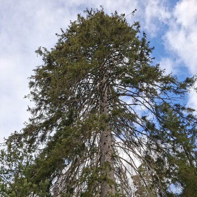
Track 3: Trees as urban green
Trees are important parts of the urban environment for many reasons. They uptake carbon from the atmosphere and store it in their biomass and the surrounding soil. They also mitigate heat waves, reduce urban flooding and provide habitats for many species. They play a role in cultural history and overall cityscape aesthetics, while supporting physical, mental and social well-being of citizens.
At the same time, the amount of trees within the built environment varies a lot between different parts of Helsinki. Following this track, you’ll explore this variation and witness the increase in tree canopy cover along the waypoints.
Starting point: 60° 11.7208’ N 24° 58.4662’ E
Number of waypoints: 3
Total distance: approx. 3 km (presuming transitions as straight lines on map)
Track 4: Co-beneficial urban green
Urban green spaces contribute to sustainability in many interconnected ways. They support the mental, physical, and social well-being of residents, provide habitat for plants and animals in an era of rapid biodiversity loss, and help store carbon in vegetation and soils, mitigating emissions from urban life. Because of these overlapping functions, urban nature is often described as multifunctional – capable of delivering several benefits at once when thoughtfully protected and managed.
This track guides you through places in Helsinki that represent different combinations of social value (S), biodiversity (B), and carbon storage (C). Each stop highlights how these benefits appear across the urban landscape, from everyday recreational spaces to ecologically rich natural areas.
The track begins along a coastal urban green area valued for everyday recreation while its vegetation and soils contribute to carbon storage. The journey then continues to a site where people and wildlife closely intersect, demonstrating the connection between accessibility and biodiversity. From there, the setting expands into a broader forested landscape where ecological richness and significant carbon storage underline the environmental foundations of urban sustainability. Finally, the route concludes in a rare and compact woodland site within the urban fabric where social value, biodiversity, and climate change mitigation converge in one place, illustrating how these benefits can coexist and reinforce one another.
Starting point: 60° 09.4391’ N 24° 51.4364’ E
Number of waypoints: 4
Total distance: approx. 40 km (presuming transitions as straight lines on map)
The caches of urban green have been implemented as part of the CO-CARBON festival 2026 and they can be found as long as the caches remain in good condition.
More on the caches: